A month in California soon passes. The State is so big and varied that time flies by. Our travels take us through the central coast, across to Yosemite, north along the gold trail, up to Lake Tahoe then back to the coast via the Napa/Sonoma wine areas to continue along the coast before passing through the Redwoods and into Oregon.
Highway 1 on the Central Coast
Starting our second month in California on the Central Coast we travelled north up Highway1.
San Simeon
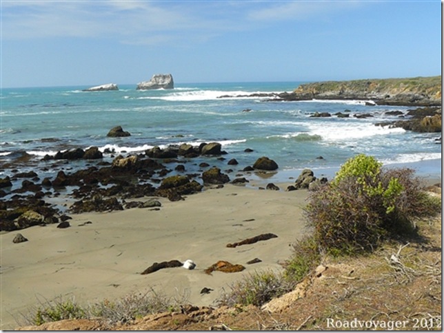
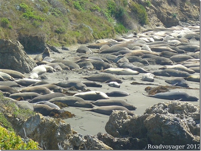
North of Morro Bay the beach near San Simeon is famous for the Elephant Seals which visit and are present to some extent each year.
At this time of year the large males have all left for their vacation in the waters around Alaska. The females and pups laze in the sun for a further couple of months. Most of these are 8-10ft long.
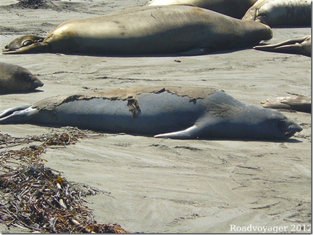
They are busy sheading their winter fur before they head out to sea to chase fish and build up their blubber supplies.
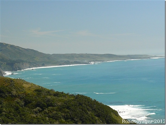
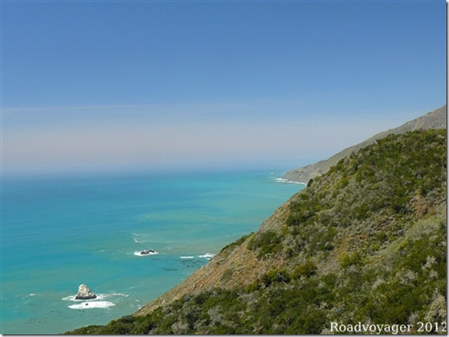
Highway 1 closely follows the coast for the next 90 miles or so with no significant development. At times the road is little more than 20ft above the water.
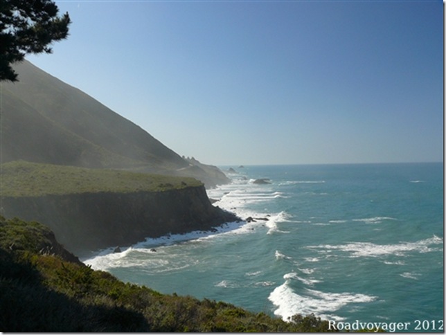
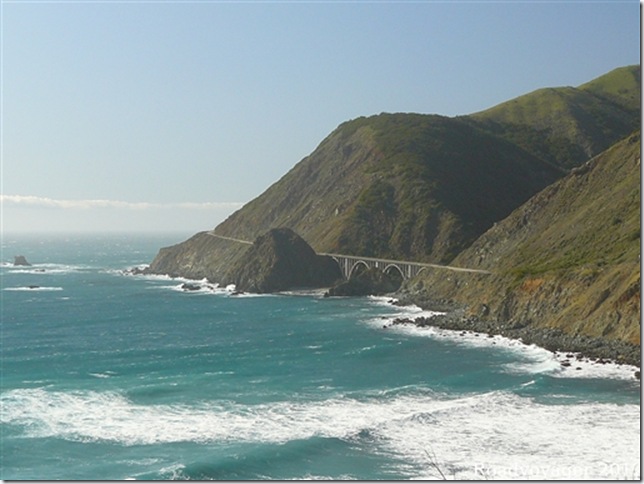
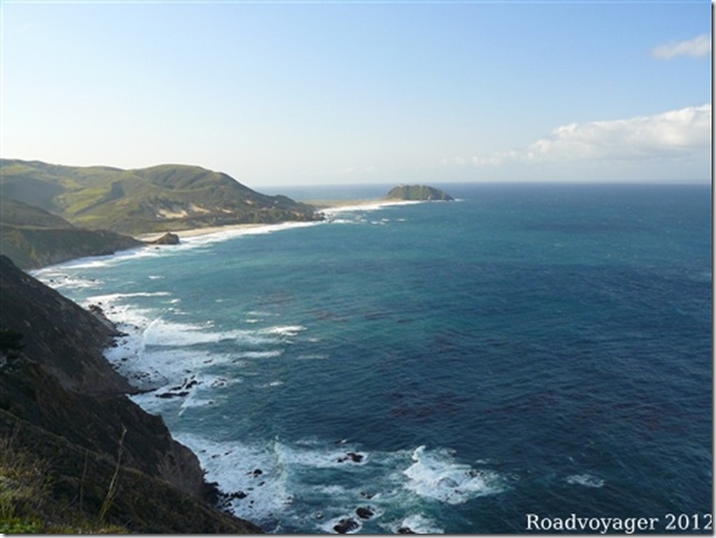
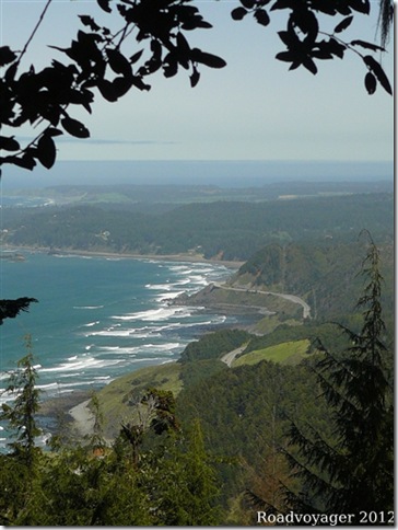
It then climbs give to give spectacular views along the coast.
In places it is 700ft above the water.
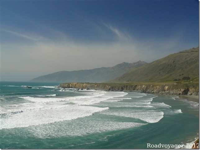
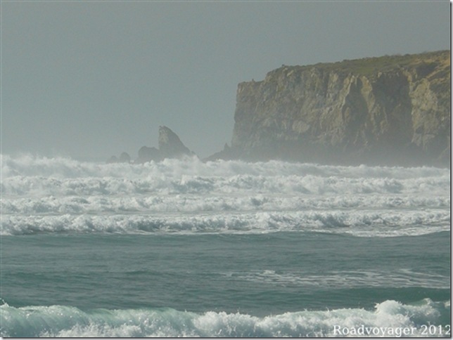
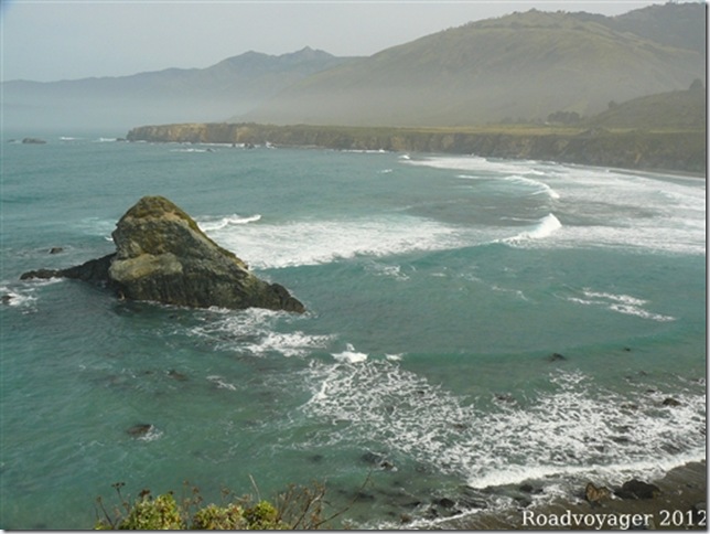
Waves roll into bays that have been eroded over thousands of years.
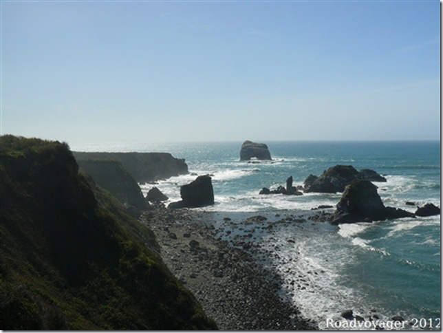
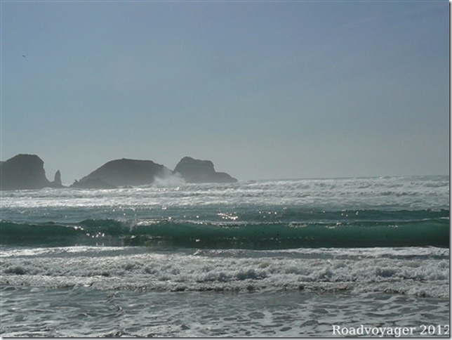
Hard granite outcrops withstand the weathering creating small islands just off shore.
Plaskett Creek
A Forestry Service campground in this Creek gives access to the cliffs and steps down to the beach.
Apart from the Pacific being very cold water the rolling waves mean that only the hardy (or surfers in wet suits) venture any distance. These are certainly not the beaches we find around Whitley Bay.
We were content to keep our feet dry, walk the cliffs and dry bits of beach admiring the views.
Big Sur
With the road hugging the rocks part way up the cliffs it is subject to landslides and every year parts of it are rebuilt or completely replaced.
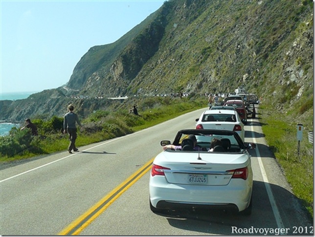
At Plaskett Creek we found out that the road north was closed until 9am the following morning. When we arrived it had been open for a short while at 7am and was closed until “at least 4pm” while the road repair crews were blasting their way through a rock slide. We met a young couple on holiday from England and chatted with them. The road eventually opened at 4:30pm and we were waved through, noticing that every few feet there were workers anxiously watching the rocks above the road for any signs of movement.
Bridge carries the road over a creek as we head north.
After a overnight stop at Big Sur State Park and 90 miles of remote coast we arrive at Carmel.
Carmel
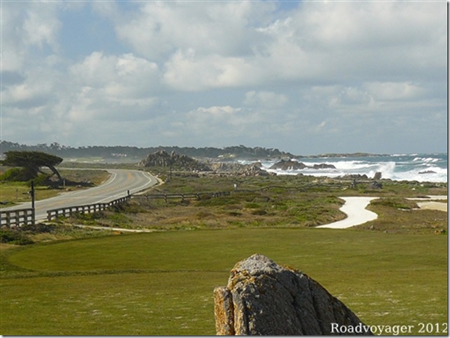
Streets in the town of Carmel are far too small for us to drive in. We took a tour of 17 mile drive around the Peninsular. A world class golf course sits right on the ocean.
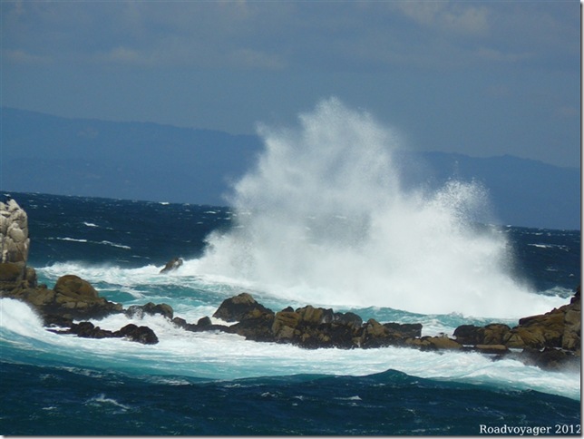
Whilst the bright blue-green sea explodes over the rocky shoreline.
Yosemite
We had hoped to visit Yosemite but earlier in the year, when we had checked conditions, it seemed like the weather would stop us. Some roads are only open May to October and tyre chain rules are imposed if it snows. There is a $10,000 fine for not carrying chains when they are required. We don’t have chains and would not want to drive our 36ft long “home on wheels” in snow even if we did!
With the valley roads clear and no rain forecast for 10 days we decided to go for it and headed 200 miles across the state from coast to the mountains.
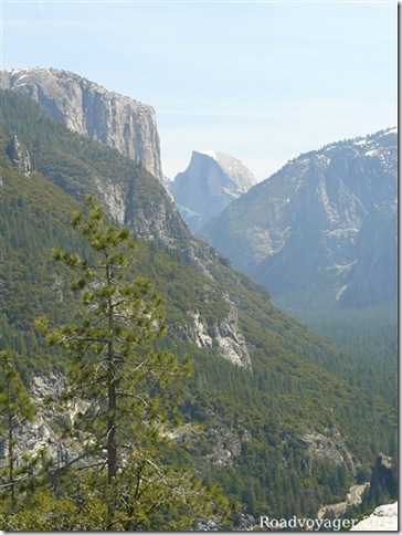
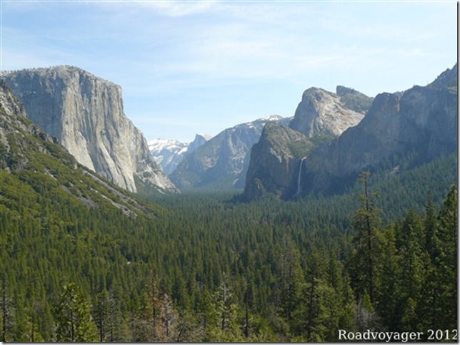
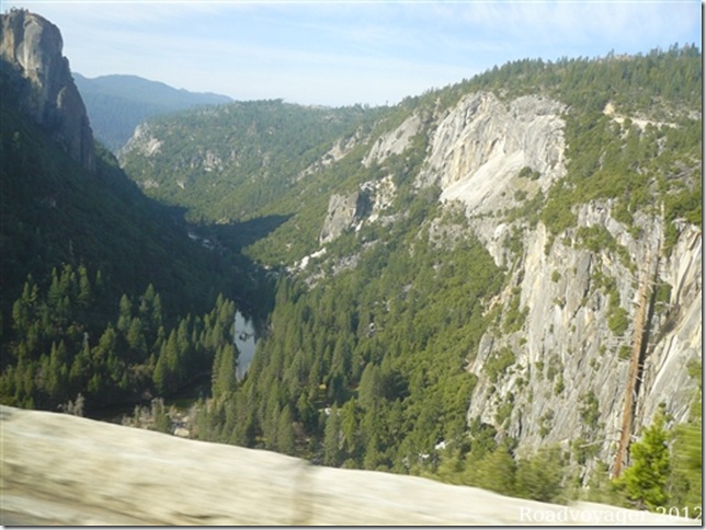
Formed by glacial action, the same as the English Lake District, the mountains along Yosemite Valley rise 3,000ft above the valley floor in places.
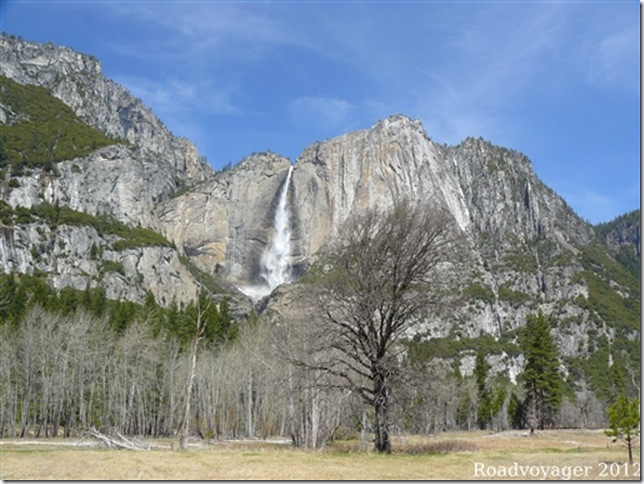
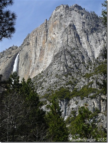
Along the huge “U” shaped valley are several high waterfalls, one of the features the park is famous for.
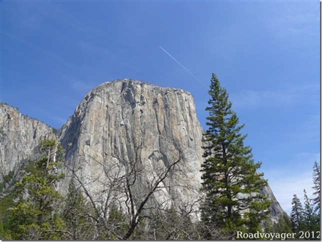
El Capitain peak is one of the highest and has challenged rock climbers for over a century.
Another of the waterfalls……
…..and then another.
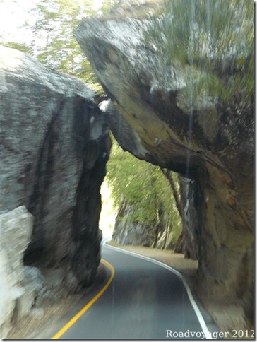
Access to the park on the second day was through this arch over the road at 14ft high and 10ft wide there was plenty of room; it just felt very tight for us to pass through with 9” of clearance each side!
Heading higher in the park we found some snow along the sides of the road but nothing of concern.
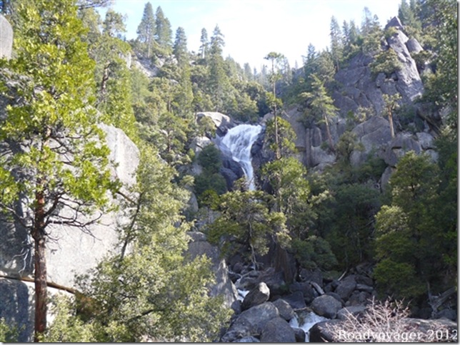
Even higher in the hills waterfalls tumbled down over the rocks to the valley floor below.
Perhaps we were unable to visit some of the more spectacular parts of the park but this was an opportunity we had not expected and we consider it a bonus to have been able to get in and see what we did.
Sierra Nevada Foothills
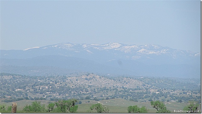
The Sierra Nevada range stands between central California and Nevada with peaks up to 9,000ft. Highway 49 runs along the line of the foothills at around 2,000ft from just south of Yosemite and is the old route linking the old gold mining towns of the California gold rush of 1849.
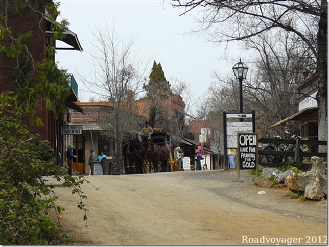
The old town of Columbia stood intact; almost a ghost town, until 1937 when the State bought up the land and preserved the buildings. It is open to the public, admission is free and it appears to be funded by commercial businesses offering gold panning, stage coach rides and assorted catering.
For most of our journey up Highway 49 the rain was with us.
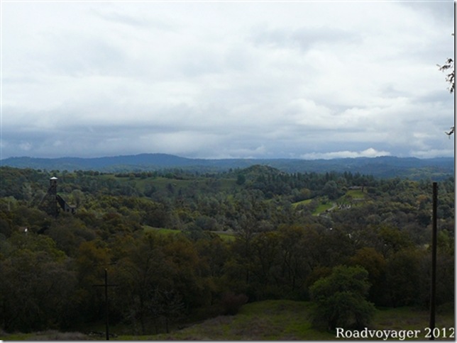
The valleys run east-west and the road north–south, so it was constantly climbing over ridges and dropping into valleys with twists and turns on the steep slopes. Our average speed dropped to about 30mph and fuel consumption went from our typical 8mpg down to 6mpg.
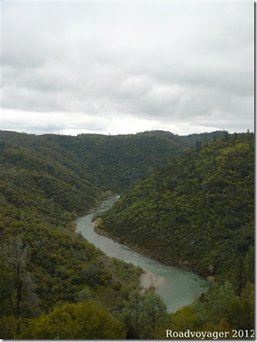
The first gold prospectors simply panned for gold in streams and rivers. Later, as gold became more difficult to find by this method, mining gold bearing granite seams was more widely adopted.
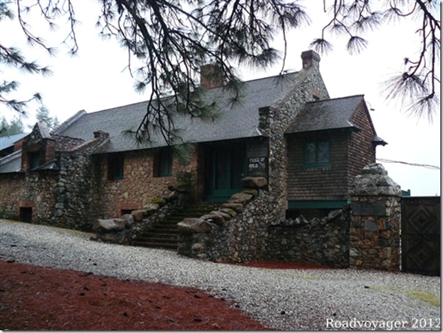
One of most successful operations was the Empire Mine which started in 1850, and continued until 1956, when it was closed by a strike by miners. It is now preserved as a State park.
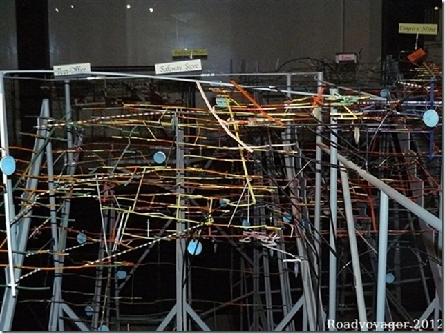
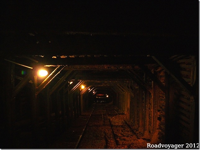
Miners chased the gold seams for miles underground and this mine alone had 367 miles of tunnels, some going 11,000ft (2 miles) deep. The model shown above is the scale model used by the mine managers and was a closely guarded secret for most of the mines’ life. Each of the thinner wires represents a tunnel with the black and white wires being connecting tunnels. All this done by dead reckoning and slide rules!
Looking down the inclined shaft into the mine which is now flooded a few hundred feet below the surface. 167 tonnes of gold were extracted from the mine and more remains in the ground but is no longer economical to extract.
Lake Tahoe
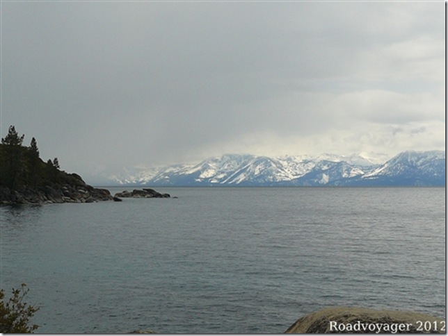
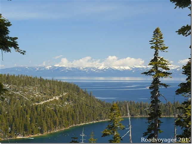
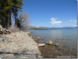
A contact Elaine had made on the internet had taken us to Empire Mine and we had arranged a weekend trip to Lake Tahoe with them. At an elevation of 6,225ft it is the second deepest lake in the US and is on the border of California and Nevada.
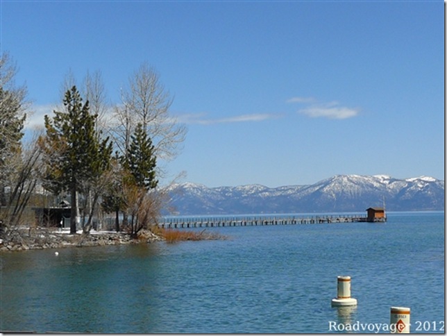
Rain over the south end of the lake greeted us, but had cleared by late afternoon.
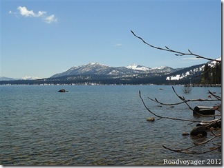
Next morning only a few clouds over the mountains remained.
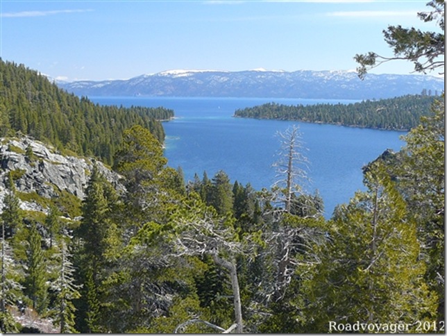
Emerald Bay on the California side.
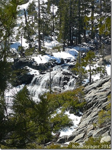
Water from melting snow keeps the lake topped up.
The only outlet is the Truckee River which eventually drains into the Nevada desert. It never reaches the ocean.
Napa/Sonoma
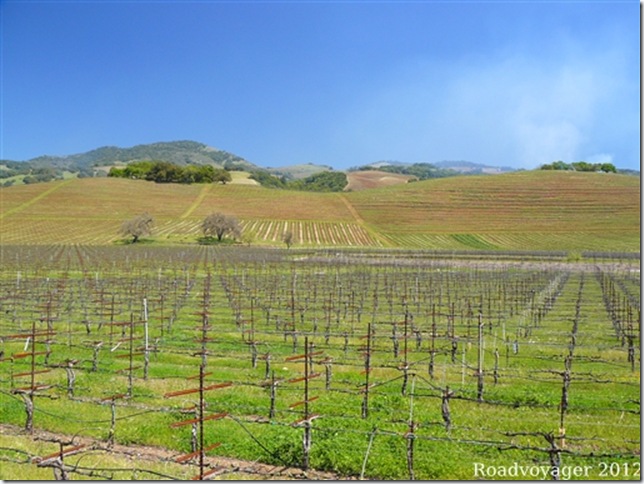
Our route back to the coast north of San Francisco took us into the Napa area.
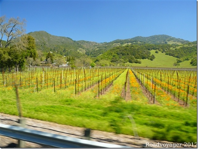
We followed the road along the Sonoma Valley
For miles vines lined the fields to the side of the road.
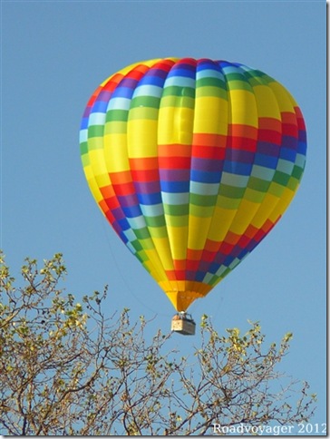
We watched early morning balloon riders whilst having breakfast one morning.
Highway 1 on the North Coast
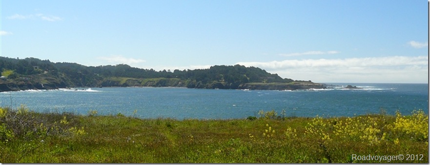
We re-joined Highway 1 just south of Bodega Bay.
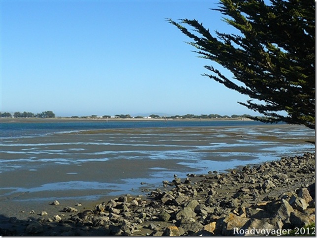
The tide was out on the sunny afternoon when we arrived.
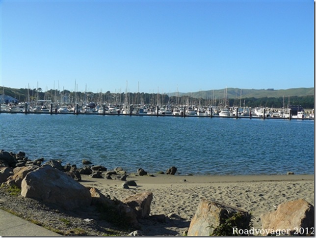
A evening stroll to the Marina was accompanied by a cool breeze.
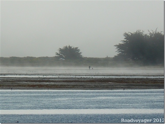
Next morning it all looked so different with only a couple for fishermen out in the bay digging for bait.
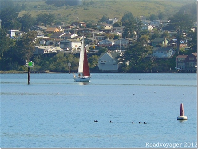
By late morning the mist had lifted and boats were moving in the bay.
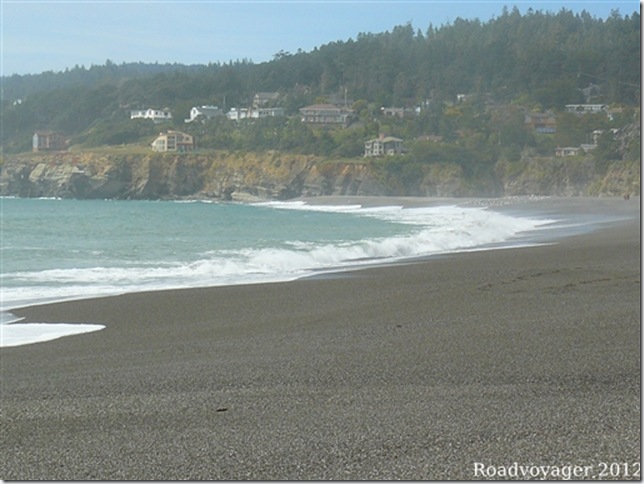
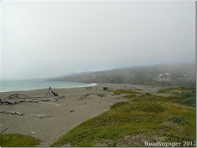
Next morning we headed north with fog obscuring the coast much of the way, however, by early afternoon we had reached Gualala and managed to get a walk along the beach and cliff tops before the mist rolled in.
The mist lifted for less than 2 hours the whole day. High temperatures inland cause air to be drawn over the cold water cooling it and when it meets the warmer air at the coast the mists form.
Next day was clearer as we reached Mendocino.
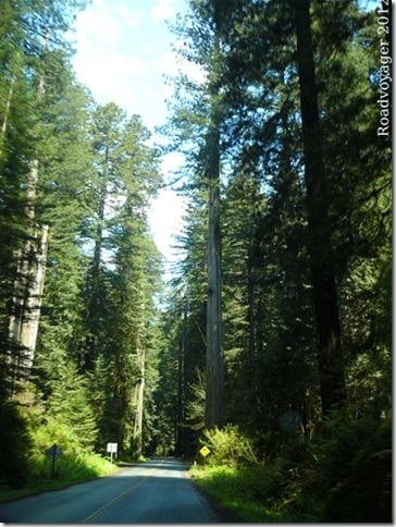
The road leads inland, joining Highway 101 and passes through the Redwood forest where these huge trees tower each side of the road and cover the hill sides.
Unfortunately photos can capture neither the size of individual trees or the extent of the forests adequately. Many of the trees are 6-8 ft in diameter, and probably 200ft plus (but you can’t see the tops). Local information claims that some of the trees are well over 300ft tall and they can live for over 2,000 years.
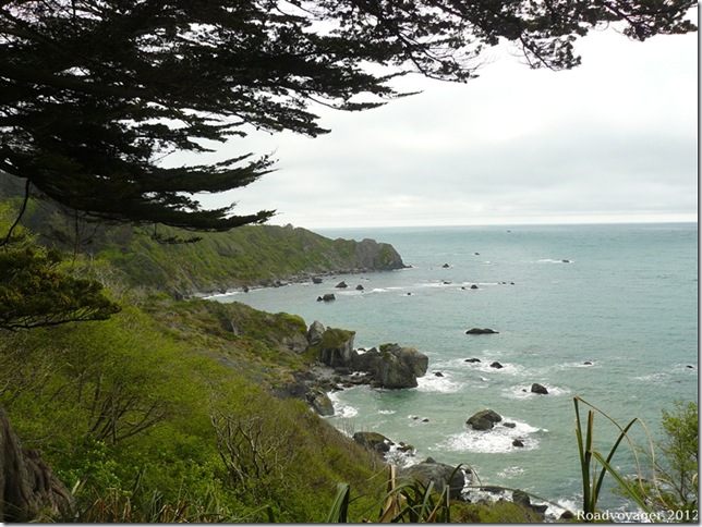
Our last stop in California was at Patricks Point where we walked the coastal rim path and saw as well as heard the sea lions barking on the rocks 200ft below.
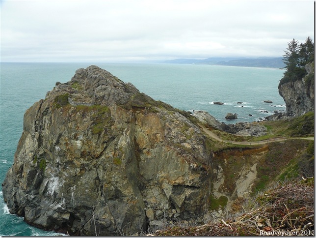
This granite outcrop, known as Wedding Rock, is a popular place for couples to get married.
South Oregon
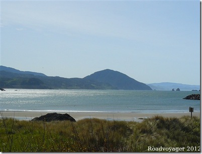
First stop was Brookings where it rained a lot, but we were able to watch several whales pass near the shore from our beachside campsite.
Next stop was Humbug Mountain which at 1765ft is the highest point on the south coast. From half way up there were good views along the coast but from the peak the views were obscured by trees. Looking back at the Humbug it does not look so big. It was a 3 hour and 6 mile walk to the peak.
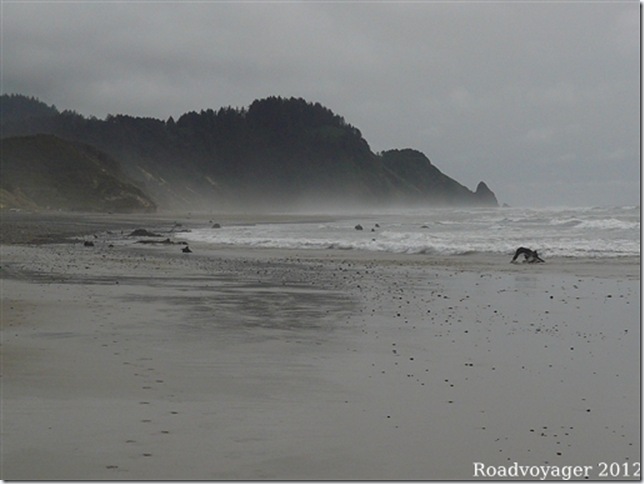
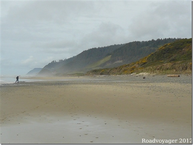
Further up the coast at Washburn, where sea mists roll ashore, and the beach stretches for 5 miles.
Little Asides
Miners from Cornish tin mines were in great demand in the California gold mines due to their expertise in hard rock (granite) mining conditions. By 1890 85% of the residents in Grass valley, where the Empire mine is located, were reportedly Cornish. As well as there skill they bought knowledge of the latest mining equipment and techniques including the “Cornish Pump”, used to clear water from the mines and remaining in use until 1930.
Bodega Bay is where the Alfred Hitchcock’s “The Birds” was filmed.
Oregon coast is public highway…….???
